The Map Series is the Trail Atlas of The Superior Hiking Trail broken up into 6 sections of approximately 50 miles each. This option was developed for people who are just starting out with the SHT and do not want to purchase the entire Atlas or those who concentrate their hikes in one section of the Trail. They also pay homage to old SHT section maps.
Map Series A: Southern Terminus to Martin Road Trailhead
Map Series B: Martin Road Trailhead to Lake County Road 301 Trailhead
Map Series C: Lake County Road 301 Trailhead to Minnesota Highway 1 Trailhead
Map Series D: Minnesota Highway 1 Trailhead to Temperance Wayside Trailhead
Map Series E: Temperance Wayside Trailhead to Pincushion Mountain Trailhead
Map Series F: Pincushion Mountain Trailhead to Northern Terminus
Published in 2020, revised and reprinted in 2022.
Physical maps are 1.5 oz each with 8.5″x11″ maps that fold in half.
SHT Association
The Map Series is the Trail Atlas of The Superior Hiking Trail broken up into 6 sections of approximately 50 miles each. This option was developed for people who are just starting out with the SHT and do not want to purchase the entire Atlas or those who concentrate their hikes in one section of the Trail. They also pay homage to old SHT section maps.
Map Series A: Southern Terminus to Martin Road Trailhead
Map Series B: Martin Road Trailhead to Lake County Road 301 Trailhead
Map Series C: Lake County Road 301 Trailhead to Minnesota Highway 1 Trailhead
Map Series D: Minnesota Highway 1 Trailhead to Temperance Wayside Trailhead
Map Series E: Temperance Wayside Trailhead to Pincushion Mountain Trailhead
Map Series F: Pincushion Mountain Trailhead to Northern Terminus
Published in 2020, revised and reprinted in 2022.
Physical maps are 1.5 oz each with 8.5″x11″ maps that fold in half.
SHT Association


 Image 1 of 6
 Image 2 of 6
 Image 3 of 6
 Image 4 of 6
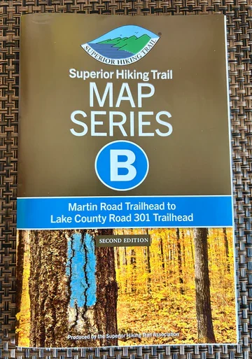 Image 5 of 6
 Image 6 of 6